|
UNC DEPARTMENT OF GEOGRAPHY AND ENVIRONMENT
GIS@UNC
GIS Week 2026: GIS Day and Spring 2027 GIS courses
|
|
Wed Nov 18 GIS Day @ Davis Library | 3:00–4:00 PM, Room 247 | Spring 2027: GEOG 115, 570, 586, 592
|
|
It’s GIS Week! This special edition has two things for you: GIS Day at Davis Library on Wednesday, November 18, and four GIS courses to add to your Spring 2027 schedule.
|
 |
Celebrate GIS Day at Davis Library
Wednesday, November 18 | 3:00 to 4:00 PM | Davis Library, 2nd floor, Room 247
Join University Libraries and the Department of Geography and Environment for UNC’s GIS Day Celebration and Map Competition. Look through a display of student maps, enjoy light snacks, and vote for your favorite map.
This year’s theme is Connecting NC: Transit, Active Transportation, and Safety. Winners are chosen half by the judges and half by popular vote, so your vote counts. Read more about the 2026 GIS Day Map Contest.
|
|
Cash prizes for the top three maps
| $500 1st place | First place
Top map by combined judges’ score and popular vote. |
| $300 2nd place | Second place
Cash prize for the runner-up map. |
| $200 3rd place | Third place
Cash prize for the third-place map. |
One map per person, using the provided NC GIS data package plus any extra data you choose. Submissions closed on November 14. Come see every entry on display and help pick the winners.
Questions about the event? Email Library Data Services.
|
| |
Four GIS courses for Spring 2027
Planning your spring schedule? Here are four GIS courses on offer, from a first look at maps and society to big-data GIS and AI-assisted programming. Questions about a course? Email the instructor using the button on each card.
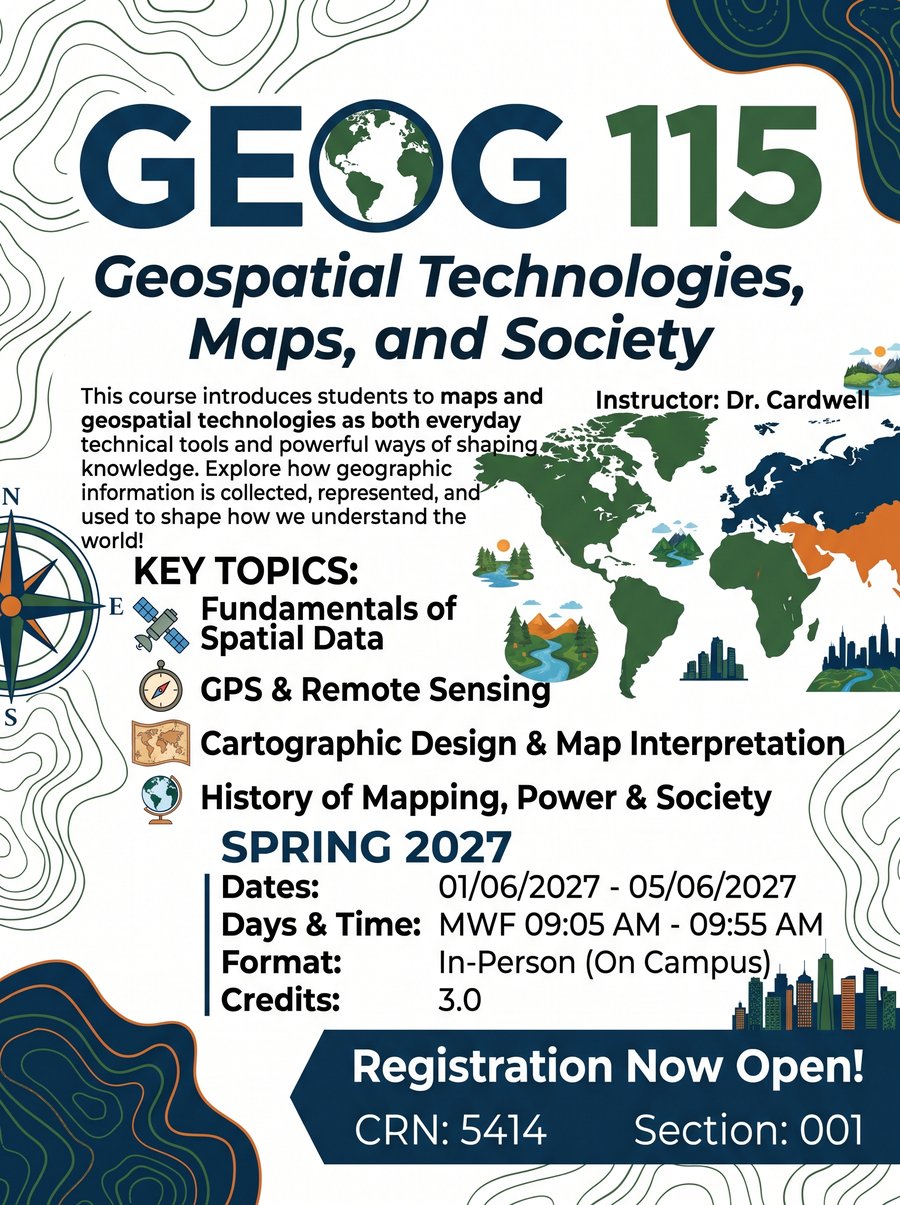
| GEOG 115 | Geospatial Technologies, Maps, and Society | MWF 9:05–9:55 AM |
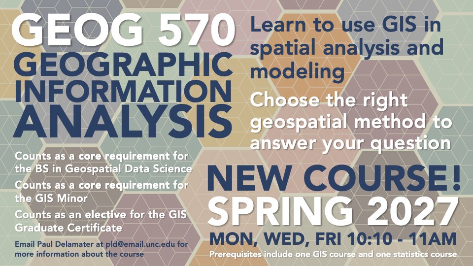
| GEOG 570 | Geographic Information Analysis | MWF 10:10–11:00 AM |
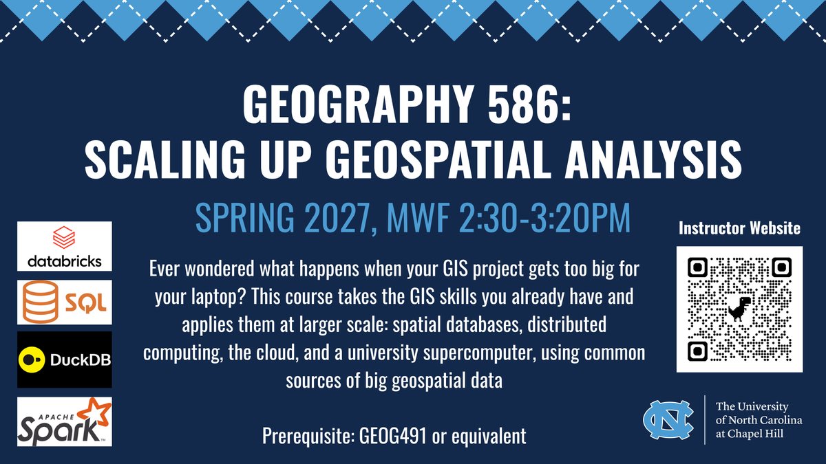
| GEOG 586 | Scaling Up Geospatial Analysis | MWF 2:30–3:20 PM |
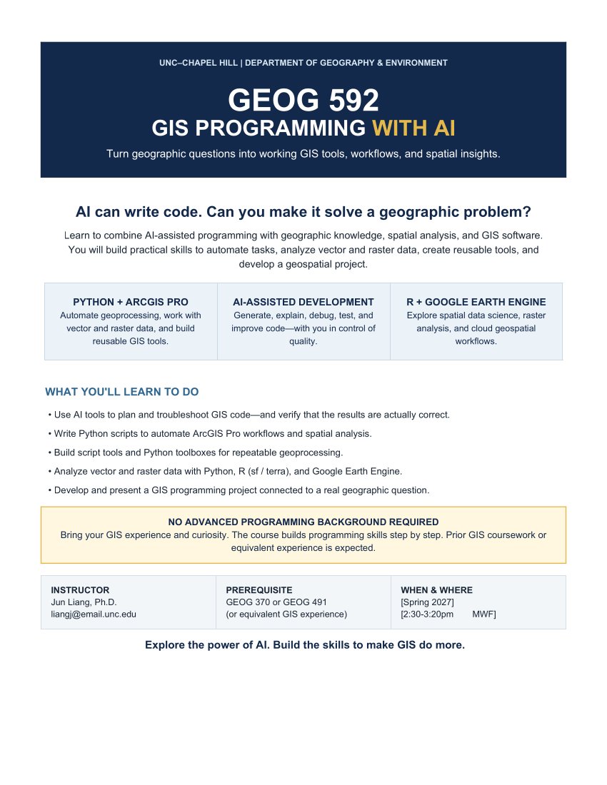
| GEOG 592 | GIS Programming with AI | MWF 2:30–3:20 PM |
 GEOG 115 course flyer. |
Geospatial Technologies, Maps, and Society
MWF 9:05 to 9:55 AM | In person
Maps and geospatial technologies as both everyday technical tools and powerful ways of shaping knowledge. Explore how geographic information is collected, represented, and used to shape how we understand the world.
| Instructor | Dr. Julia Cardwell |
| Topics | Fundamentals of spatial data; GPS and remote sensing; cartographic design and map interpretation; history of mapping, power, and society |
| Dates | January 6 to May 6, 2027 |
| Credits | 3.0 |
| Register | CRN 5414, Section 001. Registration is open now. |
|
GEOG 570 course flyer.
Geographic Information Analysis
MWF 10:10 to 11:00 AM
Learn to use GIS in spatial analysis and modeling, and how to choose the right geospatial method to answer your question.
| Instructor | Dr. Paul Delamater |
| Counts toward | Core requirement for the BS in Geospatial Data Science; core requirement for the GIS Minor; elective for the GIS Graduate Certificate |
| Prerequisites | One GIS course and one statistics course |
|
GEOG 586 course flyer.
Scaling Up Geospatial Analysis
MWF 2:30 to 3:20 PM
Ever wondered what happens when your GIS project gets too big for your laptop? This course takes the GIS skills you already have and applies them at larger scale: spatial databases, distributed computing, the cloud, and a university supercomputer, using common sources of big geospatial data.
| Instructor | Dr. Julia Cardwell |
| Tools | Databricks, SQL, DuckDB, Apache Spark |
| Prerequisite | GEOG 491 or equivalent |
|
 GEOG 592 course flyer. |
GIS Programming with AI
MWF 2:30 to 3:20 PM
AI can write code. Can you make it solve a geographic problem? Combine AI-assisted programming with geographic knowledge, spatial analysis, and GIS software to automate tasks, analyze vector and raster data, build reusable tools, and develop a geospatial project.
| Instructor | Dr. Jun Liang |
| You’ll use | Python and ArcGIS Pro; AI-assisted development; R (sf and terra) and Google Earth Engine |
| Prerequisite | GEOG 370 or GEOG 491 (or equivalent GIS experience). No advanced programming background required. |
|
|
|
GIS@UNC
Department of Geography and Environment
University of North Carolina at Chapel Hill
daveparr@unc.edu
|
|